UN
42 Western Road
£ 215,000
Description
We don't have a Description for this property.
- Bedrooms
- 3
- Bathrooms
- 0
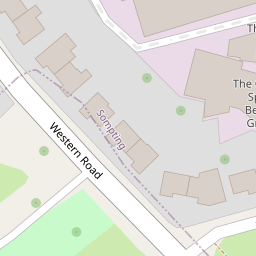
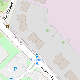

Leaflet © OpenStreetMap contributors
The heatmap indicates the level of crime in the area. The color of the heatmap indicates the crime severity and recency.
Metrics Year-on-Year
- Average area value
- 705,248.00 £Increased by 4.59 %
- Average area rental value
- 1,375.00 £/moDecreased by 25.80 %
- Est rental Yield
- 2.34 %Decreased by 29.09 %
- Crime Rate
- 0.00 %
from 674,309.00 £
from 1,853.00 £/mo
from 3.30 %
from 0.00 %
Nearby Schools
| Name | Type | Ofsted | Distance |
|---|---|---|---|
| Sompting Village Primary School | Community School | Requires improvement | 1.28 KM |
| Boundstone Nursery School | Local Authority Nursery School | Outstanding | 1.48 KM |
| Boundstone Children & Family Centre | Children's Centre | 1.68 KM | |
| The Sir Robert Woodard Academy | Academy Sponsor Led | Good | 1.81 KM |
| Springboard Education | Other Independent Special School | Requires improvement | 1.85 KM |
Images
Nearby Streets
| Name | Average Price | Average Sqft | Distance |
|---|---|---|---|
| St Mark's Crescent | £ 0 | 0 | 0.00 KM |
| St Luke's Close | £ 450,000 | 0 | 0.00 KM |
| Maytree Close | £ 300,000 | 0 | 0.00 KM |
| Kimber Close | £ 450,000 | 0 | 0.00 KM |
| Meadow Road Flats | £ 180,000 | 0 | 0.00 KM |
Nearby Transport
| Name | NLC | TLC | Distance |
|---|---|---|---|
| East Worthing | 5283 | EWR | 1.75 KM |
| Lancing | 5275 | LAC | 1.84 KM |
| Worthing | 5279 | WRH | 4.13 KM |
| West Worthing | 5278 | WWO | 5.98 KM |
| Shoreham-By-Sea | 5277 | SSE | 7.57 KM |
Nearby Listings
| Address | Price | Type | Score | Distance |
|---|---|---|---|---|
| Western Road, Lancing, West Sussex, BN15 | £ 425,000 | BUY | Unknown | 0.01 KM |
| Western Road, Lancing | £ 375,000 | BUY | 5 / 10 | 0.08 KM |
| Freshbrook Road, Lancing, West Sussex, BN15 | £ 350,000 | BUY | 6 / 10 | 0.08 KM |
| Burnside Crescent, Sompting, Lancing, West Sussex, BN15 | £ 425,000 | BUY | 7 / 10 | 0.27 KM |
| St Marks Crescent, Sompting, West Sussex, BN15 | £ 500,000 | BUY | 7 / 10 | 0.32 KM |
Nearby Properties
| Address | Price | Distance |
|---|---|---|
| 47 Western Road | £ 370,000 | 0.00 KM |
| 40 Western Road | £ 375,000 | 0.00 KM |
| 42 Western Road | £ 215,000 | 0.00 KM |
| 69 Western Road | £ 390,000 | 0.08 KM |
| 2 St Pauls Avenue | £ 189,950 | 0.16 KM |